

JA
Jana
Obervellach → Pontebba · Thu, May 9
6
Over Nassfeld in the rain, then forty kilometres downhill into Pontebba. Best coffee of the trip at the top.
The plan, the weather where you’ll actually be, a live link for the people at home, shared expenses and the diary — for everyone in the group.

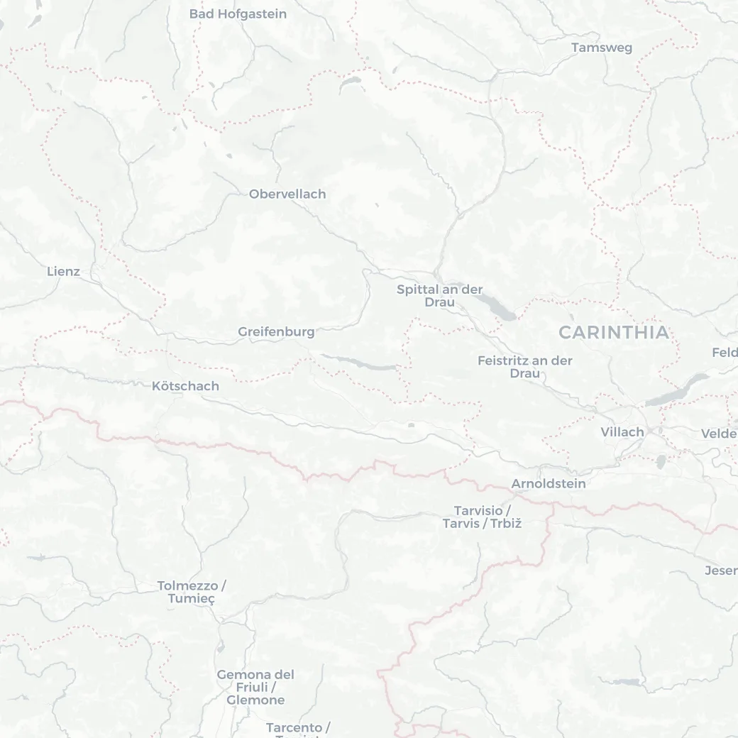
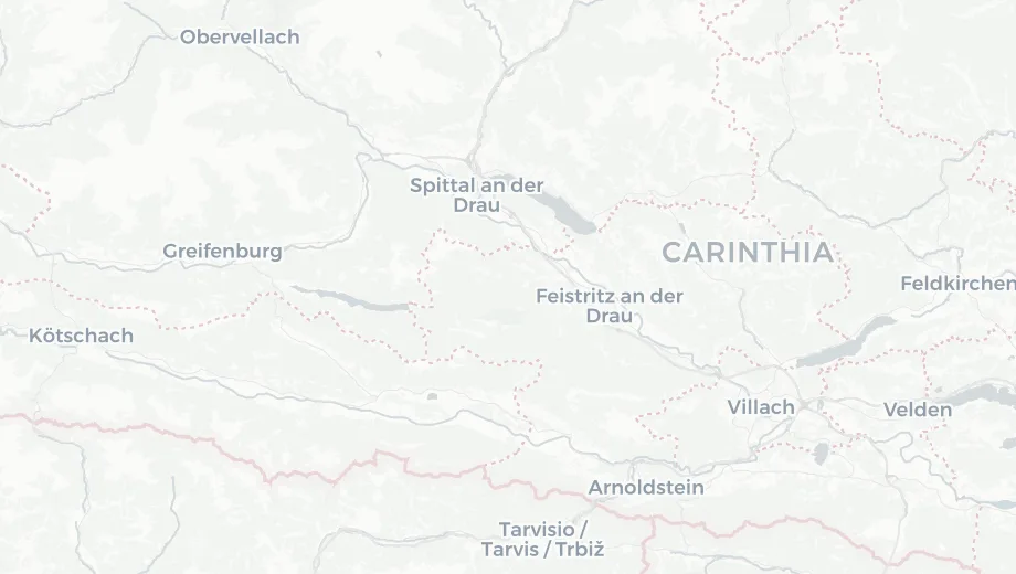
Break the trip into stages, one GPX each. The app adds up the whole trip, gives every stage its own colour on the map, and shows at a glance what’s done, what’s today and what’s still ahead.
 © OpenStreetMap contributors © CARTO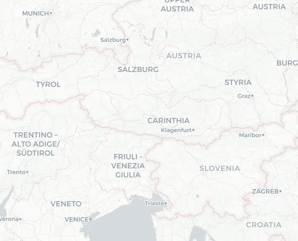

A forecast for town tells you little when you’ll be on a pass at noon. The app works out where on the route you’ll be at each hour from your planned pace, and shows the weather for that spot — rain, temperature and the wind, head or tail.
Open Live and see how far you are along the stage, where the plan says you should be, and when you’ll roll into tonight’s stop.

Share the trip with family and friends. They see the route, the diary and photos, where you were last and when you’re expected — without an account and without you sending updates between climbs.
 © OpenStreetMap contributors © CARTO
Log who paid for the guesthouse, the groceries and the beers, in any currency. At the end, the app works out the fewest payments to settle everyone, and each one comes with a QR code for your banking app.

Everyone in the group writes to the same diary. Each post can be tied to a stage of the trip and carry its own photos and videos — so the story of the trip is told by everyone who rode it.
Over Nassfeld in the rain, then forty kilometres downhill into Pontebba. Best coffee of the trip at the top.
Create the trip, add a stage per day and upload its GPX. Distance, climbing, ride time and weather fill in on their own.

Send one link to the group. No emails, no app store: it opens in the browser and goes on the home screen.

Everyone loads the GPX onto their bike computer and follows the trip in the app. Log expenses and photos as you go.
Set up the stages tonight, send the link to the group, and ride.
Start a trip